Lot Survey Residential
CNC Surveying, LLC does lot surveys for residential property in Nebraska and Iowa. It is curious that some surveying and civil engineering companies don’t do lot surveys. It is because their overhead is high.
If you do a search for Land Surveyors Near Me you should find CNC in Omaha. We work in a 200 mile radius of our office at 5127 Leavenworth Street.
Lot surveys come in two flavors: plat subdivision (subdivide by simultaneous conveyance) or division (carved from a larger tract). Lots in a subdivision are pro-rated on the ground according to field vs plat dimensions for the whole block.
Lots divided from a larger tract depend on the sequence of division and the legal description. A tract lot taken off a larger piece is “senior” to other parcels taken off that piece, which are senior to recent parcels off the parent piece of land. The senior lot gets its described dimensions actually on the ground because it was first divided. The junior lot gets the remainder, greater or less. Comparing found monuments field distance against tract legal distance for the same line may disagree. The error (difference) is thrown to the junior lot. It may be short or it may be long, but the senior lot dimension is held.
Boundary Survey Elements
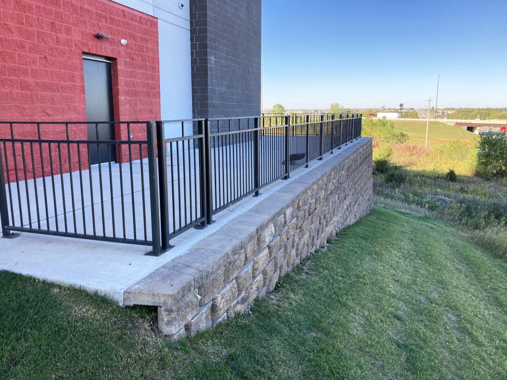
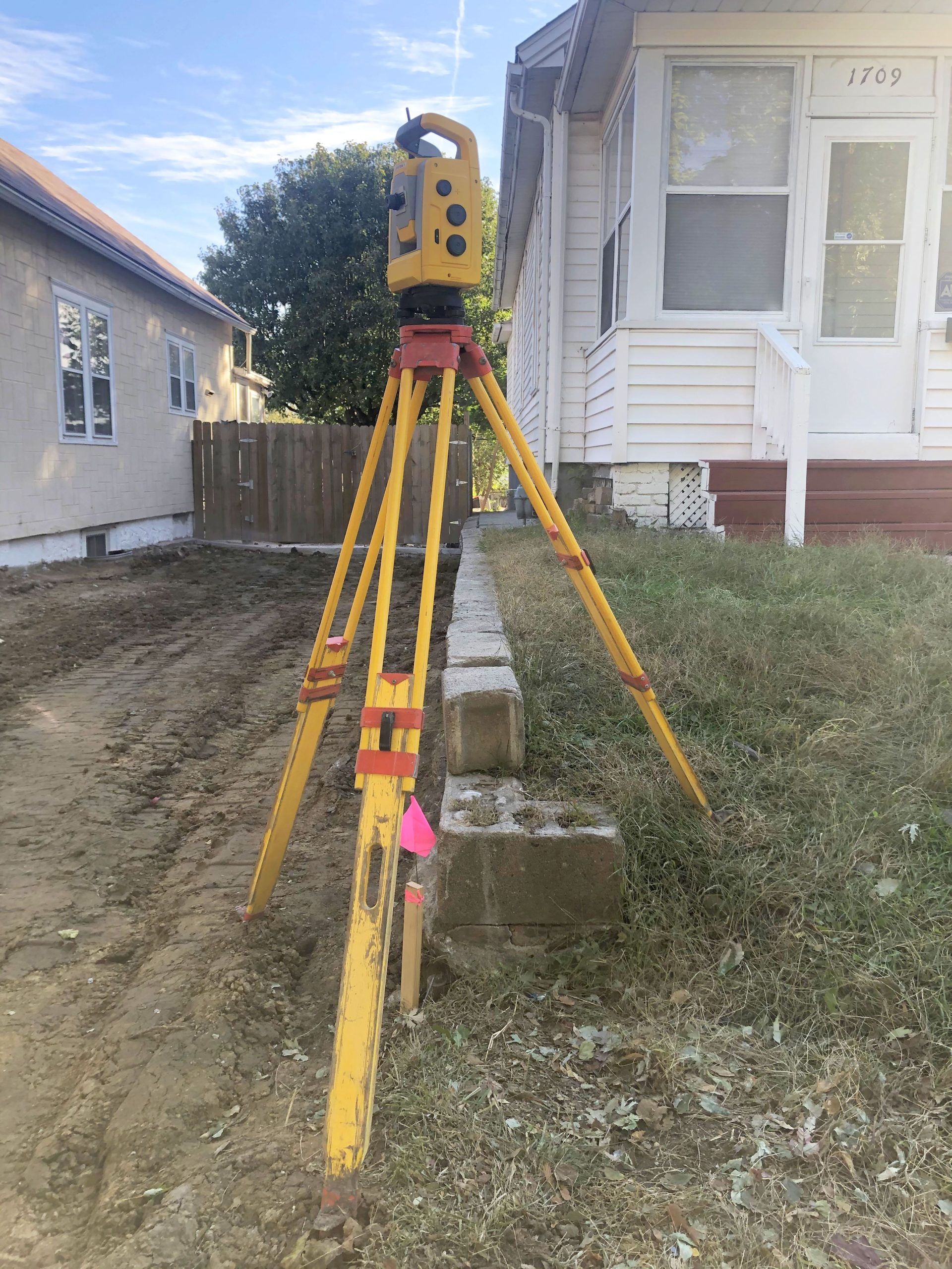
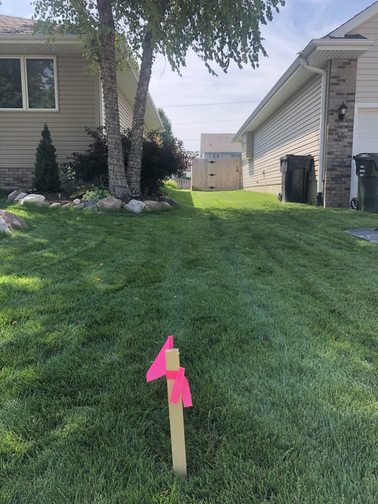
A boundary survey has three important parts: a scale correct drawing, an unambiguous legal description, and iron markers set in the ground to memorialize property corner locations. A strong boundary survey agrees between measurements from the field shown on the survey, deed vs ground distances and angles or bearings, and then “calls” to boundary markers shown in the drawing and mentioned in the recorded legal description.
At CNC Surveying, LLC we perform boundary surveys for landowners who wish to professionally measure and record parcels of land, to fence their property, or to document their boundary lines with respect to an active encroachment. It is sometimes necessary to defend your property lines, and a recorded boundary survey will do just that.
Boundary Surveys are the core element of many other types of surveys. Boundary Surveys are included in ALTA surveys, right-of-way surveys, and platting of lots because of the transactional event. Boundary surveys are required to obtain building permits, to build a septic system, to properly write an ingress egress easement, or to dedicate or vacate a utility easement. Reasons that permits and easements need boundary surveys is accurate legal reporting for others reliant upon accurate property locations and area.
Construction of permanent structures is a situation where an accurate property location defines where a building or utility can be built (set-backs or adjacent development). Boundaries are mostly horizontal but there are situations where the height or elevation is required. Condominiums in multi-story buildings include floor number. Geological or mineral easements use depth. Airport glide paths, solar easements, and view easements restrict activity in a third dimension. Surveyors are needed to establish datums and reference lines and planes used to define these relative positions.
Boundary Survey History
Boundary surveys have historical importance because monuments (evidence) are established, creating a precedent of location connected to time. People witness locations of fences, for example. Properties change ownership and create records which document the additions, subtractions, and changes of ownership. Titles and deeds are used to track this provenance for the owner, and for private and public parties who may share the boundaries or somehow be dependent upon their location now, in the past, or in the future.
In the United States we have
(1) metes and bounds type of legal description and
(2) the Public Land Survey system https://en.wikipedia.org/wiki/Public_Land_Survey_System . After the Land Ordinance of 1785 states west of the 13 original colonies (west of the Ohio River) land was surveyed and people began intentionally populating and farming the land. The Westward Expansion was facilitated by a rectangular system of aliquot parts of lands sold for $1.25 per acre to individuals, companies, institutions, or given to Revolutionary War soldiers, and then later granted to homestead couples for small fees.
Lot Survey Commercial
The same rules apply to commercial lots regarding subdivisions or tracts. Commercial lots are typically larger and contain more complexities like access easements. Commercial lots will typically be surveyed with an ALTA survey or title insurance survey. The complexities lead to the title company wanting assurance from a surveyor that the utilities agree with the easements, for one example. Because the title company insures the transaction against discrepancies, they want a thorough search to remove anything certain from the uncertain (less risk).