
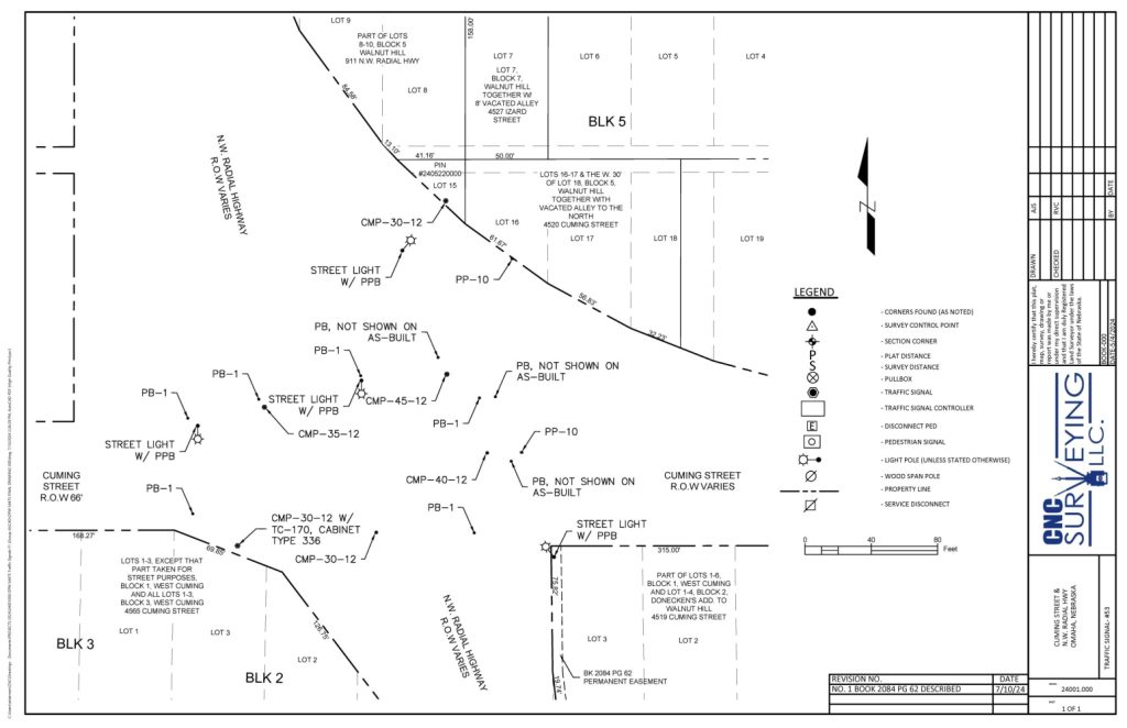
Boundary, ALTA/NSPS, Topographic Surveys – Accurate, Affordable, Professional
Welcome to CNC Surveying, a leading Omaha Land Surveyor. We are a provider of various land surveying services in Omaha, Nebraska. We specialize in boundary surveys, ALTA/NSPS land title surveys, and engineering-grade topographic surveys for site development and construction.
As a licensed professional land surveying firm, CNC is proud to be a Women-Owned Small Business (WOSB) certified by the SBA and a Tier II ESB recognized by the City of Omaha.
🧭 Our Land Surveying Services
- 3D Scanning of mechanical rooms, buildings, construction
- Lot & Boundary Surveys of Cadastral and Platted Property
- ALTA/NSPS Surveys for commercial real estate transactions
- Topographic Surveys for engineering and site design
- Construction Staking & GPS Control for infrastructure projects
- Right-of-Way Surveys for roads, bridges, levees, and sewer systems
- Legal Descriptions for plats, easements, utilities
- Flood Elevation certificates, amendments, flood plain removals
As a function of the City of Omaha we perform technical surveying and platting work necssary to resolve parcel and platting irregularities, identify encroachments, create and record easements.
Surveying and Mapping services include: boundary surveys, as-built surveys, easement surveys and exhibits, platting and replatting surveys, surveys required to support entitlement actions and conveyance, identification and documentation of encroachments.
Platting, Replatting and Entitlement Support services include: preparation of plats and replats consistent with City and Douglas County requirements, coordination of replatting actions involving multiple parcels, including combining or subdividing parcels into new lots of record, preparation of legal descriptions, exhibits, and supporting documentation required for plat approval and recording, preparation of exhibits for Zoning Board of Appeals applications.
Documentation and Recording Services include: preparation and recording of documents with the Douglas County Register of Deeds, including but not limited to plats and replats, easements, transfer statements, deeds and other conveyance documents.
Coordination and Communication Services include: participation in coordination meetings with City Staff, communication regarding schedule, progress and technical findings, responsiveness to City requests for clarification and revisions.
🏗️ Omaha Land Surveyor & Surrounding Communities
Founded in 2018, CNC Surveying works with:
- Municipal, State, and Federal government
- Civil engineering firms
- Architects
- Construction contractors
- Utility and infrastructure companies
- Developers and Land Owners
Our experienced crews use Trimble SX10 robotic total stations and scanners to deliver precise data for every project. We work with a 200-mile radius of our office at 5127 Leavenworth St. Surveying Omaha.
👷 Experienced, Reliable, Omaha Land Surveyor
Owned and operated by Carmel and Tim Conway, with Vance Clark as a board member, our team brings over 90 years of combined experience in land surveying and engineering. We’re known for:
- High-quality work
- Efficient project delivery
- Long-term client relationships
✅ Why Choose CNC Surveying?
- Local expertise with national standards
- Licensed and insured professionals
- Advanced surveying technology
- Competitive pricing and fast turnaround
- Trusted by municipalities and private developers
📞 Get a Free Quote Today
Looking for an Omaha Land Surveyor? Contact CNC Surveying for accurate, affordable, and professional service. Call 402-739-0925
2 responses to “CNC Surveying, LLC – Trusted Omaha Land Surveyor”
Hello , I would like to know if you offer a boundary and topography survey
What area do you serve?
Yours sincerely, Richard Watson
Hi Richard,
We offer both boundary and topographic surveying. We work a 3 hour radius around Omaha. If you give me an address I can look into a quote.
Thanks, John