

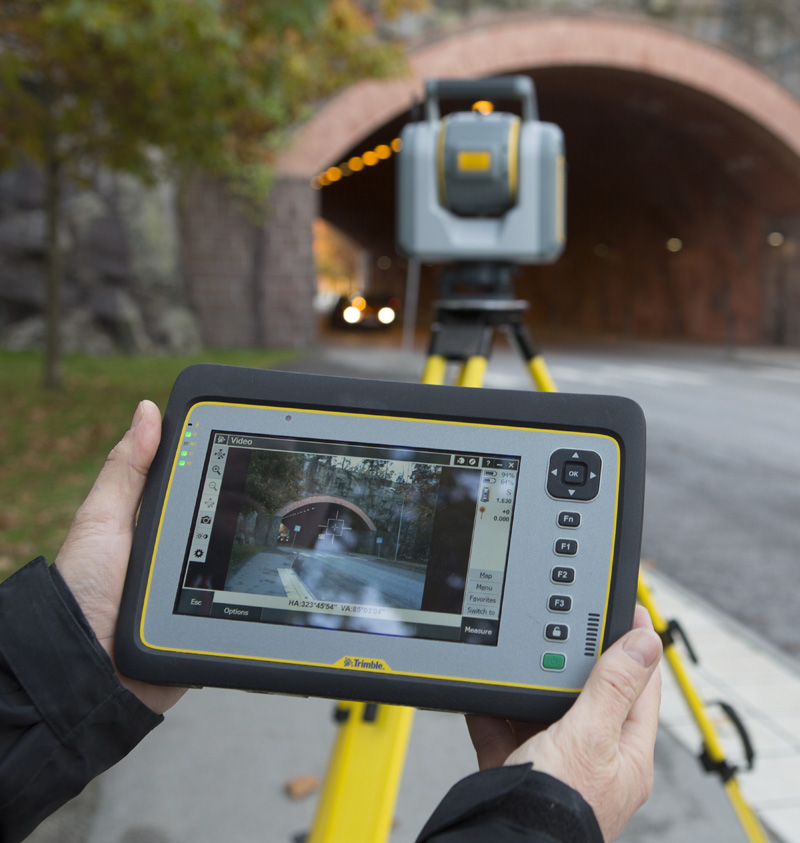
Scanning Feature Photo. Credit to Trimble, Inc. sx10-4.jpg (800×843)
Scanning is Powerful
One of the most recent technologies available to surveyors is three-dimensional scanning. That is, remotely sensing the position and elevation of surfaces from control stations. We use Trimble SX-10 scanning total stations which photograph and measure scenes that are later merged together.
The constructed objects can be measured against construction plans or to determine deviations and fit with precision.
Topographic Surveys in inaccessible areas such as busy intersections can be safely done.
Design
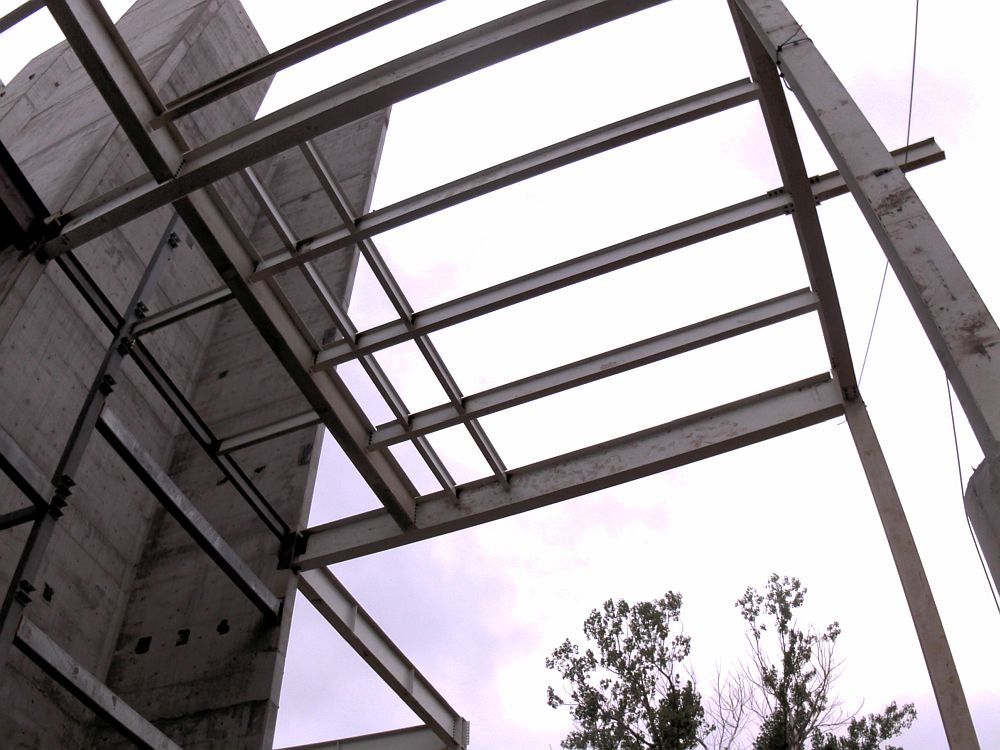
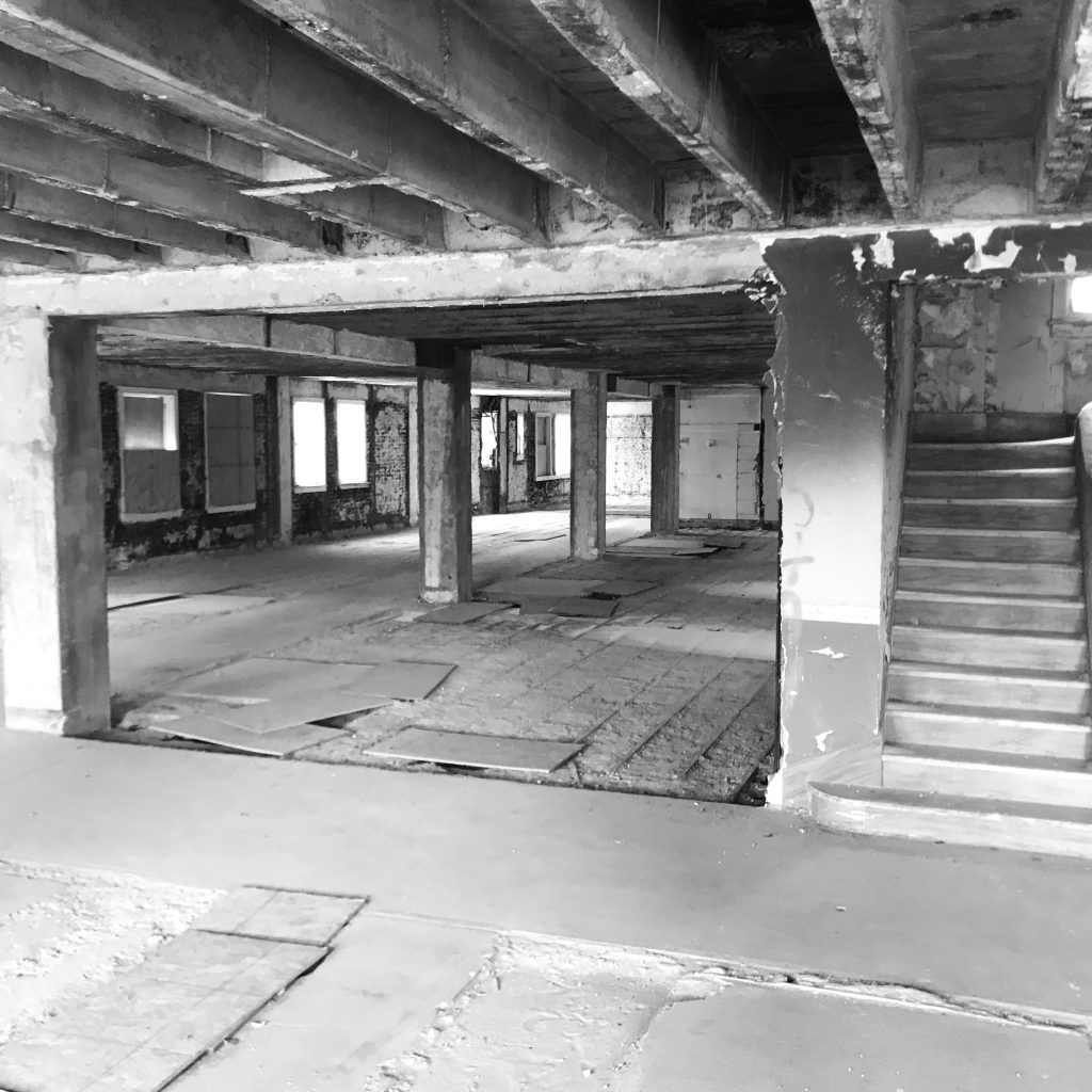
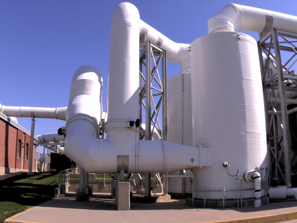
Scanning is useful in design situations when many built surfaces need to be considered. Existing building interiors can be modified with accurate location data. Existing pipe, mechanical, and electrical situations can be portrayed accurately in design software.
Scanning Provides Safety
Scanning a busy intersection or roadway is a good way to collect as-built information for transportation re-design. Three-dimension Low steel and powerlines are accurately mapped from the scanning. Placing people in dangerous situations can easily be avoided. The area is scanned from doubled overlapping stations to allow the software to create a uniform corridor of accurate topography. Drawings are brought back to the site and edited from safe locations. Updates about underground utilities, street names are added. Quality checks are made.
There are other conditions where surveyors cannot easily access terrain or structures. Scans can be made from outside the hazardous zone. Examples are toxic waste, radioactive areas, and highly complex vertical situations. Post processing of scanning data creates a three-dimensional model in AutoCAD that becomes the base layer of engineering designs for construction.